
Whether for a short walk in the forest or a multi-day trek in the mountains, having a good mapping application on your phone has become essential. Gone are the days of getting lost with a water-damaged map! Over the years, I have tested many applications, and three of them have caught my attention for their reliability and features dedicated to hiking.
Mapy.com (formerly Mapy.cz)#
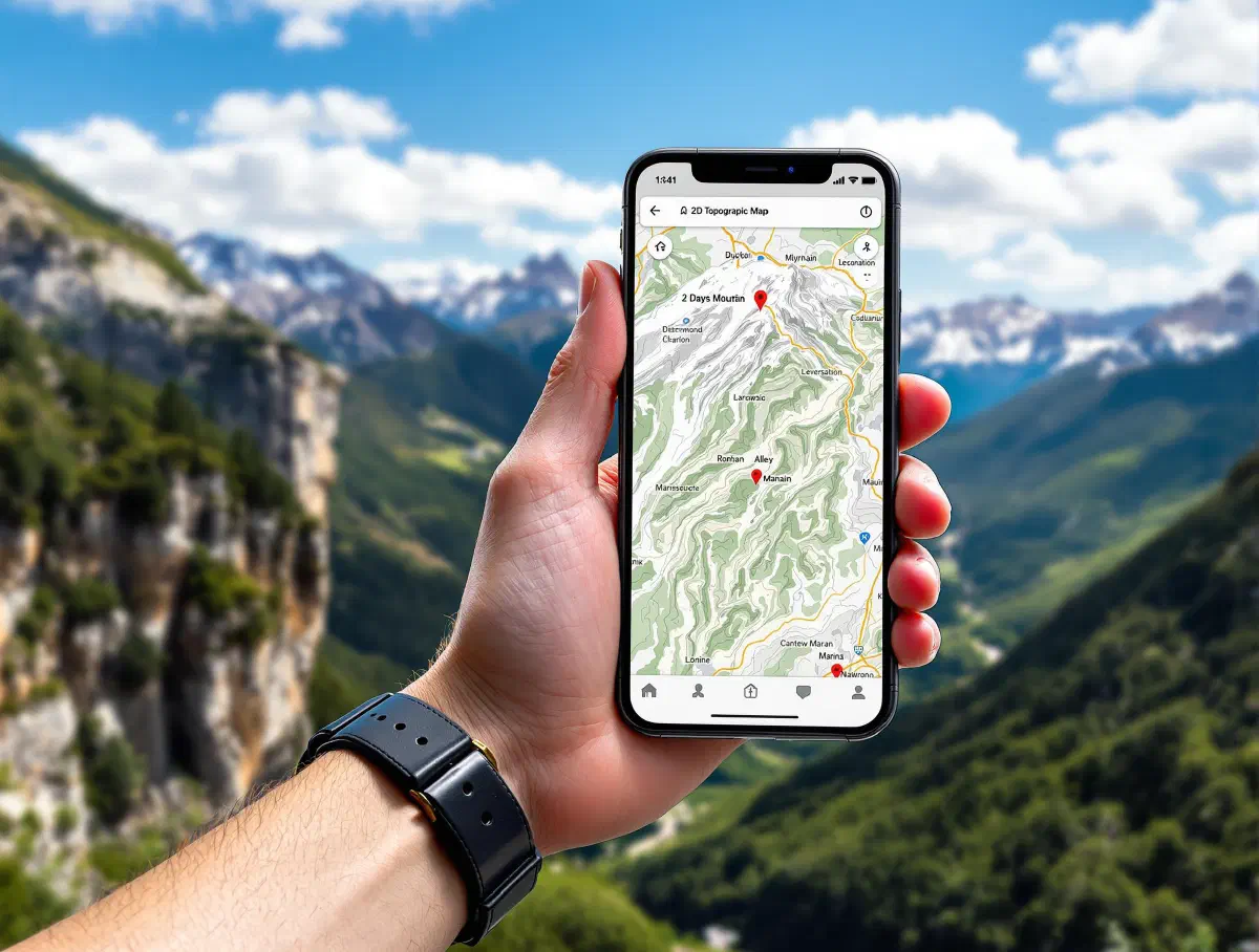
This was my go-to application before some features became limited. Originally from the Czech Republic, Mapy.com offers exceptionally high-quality and very readable topographic map layers.
The maps are based on OpenStreetMap data, but with a specific rendering for hiking, which makes them very suitable for outdoor activities.
Pros:
- Hiking trails: The trail marking is incredibly precise and often matches the markers found on the ground. You can find major trails (like GR, PR in France) and even small local paths.
- Offline mode: You can download entire regions for use without an internet connection, which is crucial in the mountains.
- Route planner: Very practical for preparing an outing, it estimates the duration and elevation gain based on the “hiking” profile. Routes can then be shared via a link or exported in GPX format to be used on other applications or GPS devices.
- Free: All these features are available for free but with map download limits.
Cons:
- Less known, it may have fewer community points of interest (restaurants, shops…) than its competitors in some parts of the world.
- The application requires creating an account to synchronize data and download maps, which can be a deterrent for some users.
Organic Maps#
Organic Maps is a fork of the famous Maps.me application, but in an open-source, ad-free, and privacy-respecting version. It’s simplicity and efficiency embodied.
The maps are also based on OpenStreetMap, but the focus is on offline use and a minimalist interface.
Pros:
- 100% offline: You download maps by country or region and everything works without a connection. It’s very reliable.
- Simplicity: The interface is clean and straight to the point. It’s the application I recommend to those who don’t want to bother with complex settings.
- Lightweight: The application is fast and consumes little battery.
- Privacy-respecting: No trackers, no data collection.
Cons:
- Fewer advanced features than its competitors (no multiple layers, no advanced route planning).
- The place search is slightly less powerful than that of Mapy.com or OsmAnd.
It might be interesting to look into CoMaps, which aims to further respect the community’s choices in the application’s development.
OsmAnd#
OsmAnd is the Swiss army knife of mobile mapping. Also based on OpenStreetMap data, this application has an impressive functional richness, which can sometimes make it complex. Unlike the previous two, it is only available on Android.
Pros:
- Extreme customization: You can configure everything: the map display, the information shown, navigation profiles…
- Very complete offline features: Navigation, search, contour lines, hiking trails, everything is available offline.
- Plugins: There are many plugins to add features, such as displaying contour lines (essential in the mountains) or integrating Wikipedia articles.
Cons:
- Complexity: Getting started can be confusing for a new user. There are so many options that you can get lost.
- Business model: The free version is limited to a few map downloads. For intensive use, the paid version (OsmAnd+) quickly becomes necessary. However, it is possible to download a more complete version from F-Droid.
- Can be a bit slower than the others due to the amount of data it handles.
Conclusion#
In conclusion, the choice will depend on your use case. For meticulous preparation and precise tracking in Europe, Mapy.com is excellent. For simplicity, reliability, and privacy, Organic Maps is unbeatable. Finally, for advanced users who want total control and a myriad of features, OsmAnd is the reference.
As for me, I now exclusively use OsmAnd with customizations that allow it to get closer to the rendering of Mapy.com.